Offers
Every time AgriVision flies your field, you will get the option of 6 different maps. These 6 maps show different things relating to crop health and vegetation. Each farmer gets the choice of receiving all of them or just a few for the same charge.
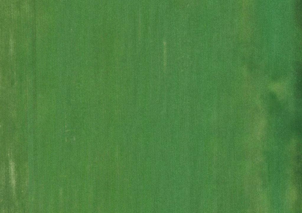
RGB
Red Green Blue
This map is an aerial view of what the field looks like with no special cameras.
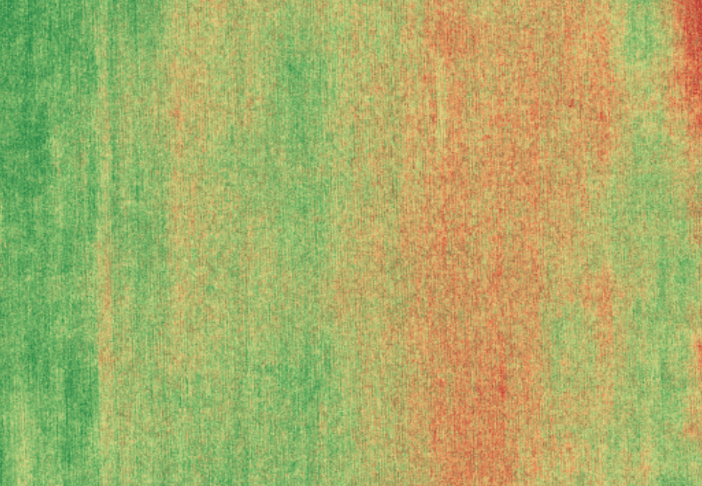
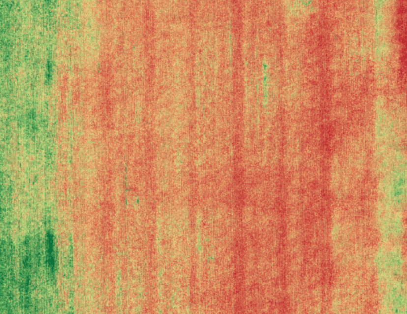
NDVI
Normalized Differential Vegetative Index
- Compares near-infrared and red-light data
- Measures vegetation and plant health based on how the cell structures are reflecting the different waves in the visible and near-infrared bands of sunlight
- Green=Good Red=Bad/Problem Area

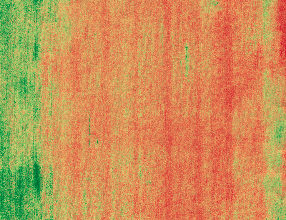
RDVI
Renormalized Difference Vegetation Index
- Compares near-infrared band reflectance and red band reflectance
- Reduces the influence of soil brightness when looking at the crop health
- More accurate with sparse vegetation
- Green=Good Red=Bad/Problem Area
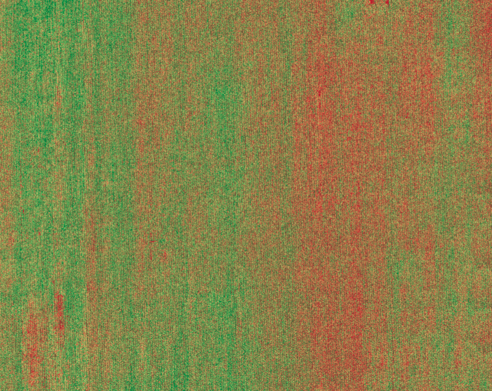
GNDVI
Green Normalized Differential Vegetative Index
- Uses near-infrared and green light
- Measures variation of chlorophyll content in the vegetation
- Also provides information on excess/deficit of nitrogen and water
- Green=Good Red=Bad/Problem Area
OSAVI
Optimized Soil Adjusted Vegetation Index
- Uses near-infrared light, red light, and L (amount of green vegetation cover)
- Same thing as SAVI but it has a lower calibration factor making it more sensitive to vegetation differences
- Works better with a dense canopy and a variety of vegetation cover
- Green=Good Red=Bad/Problem Area
SAVI
Soil Adjusted Vegetation Index
- Uses near-infrared light, red light, and L (amount of green vegetation cover)
- Measures plant health while using a soil brightness correction factor to modify map results based on how much soil surface is showing
- Green=Good Red=Bad/Problem Area
What agrivision needs from you
When you decide to have AgriVision, LLC fly your fields, we will need some information to get started.
- Field boundaries and locations of which farms you will need flown
- The timing of flying either at certain growth stages or as needed
- How you want your aerial maps delivered: either by paper in a binder/folder or on a flash drive as pdf files
